A Year in Review
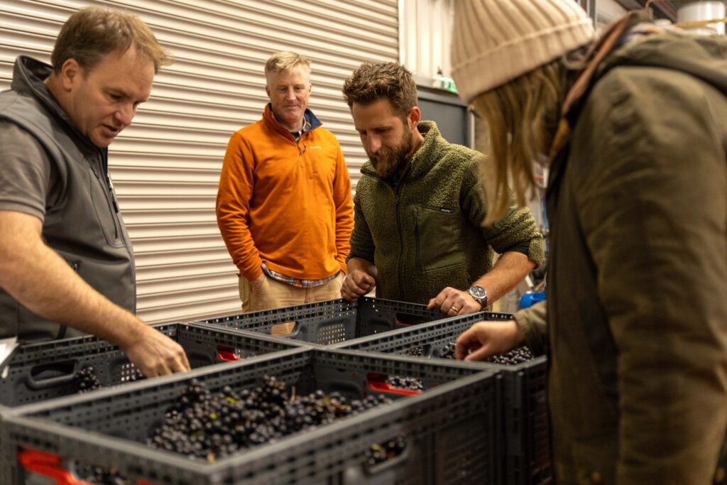
We have had a big year with our amazing clients, exciting events, media engagements, research projects, planting new vineyards, protecting established ones and of course getting through a challenging vintage.
Estate Winemaker vacancy – closing date 31st January 2020

Vinescapes are recruiting for a full time Estate Winemaker for one of our presigious clients based in Hampshire, England. Applications close 31st January 2020. 1st round interviews are expected to […]
5 minutes with…Alistair and Adam from Vinescapes
Sussex Innovation Centre 5 minutes with our CEO Alistair Nesbitt and Operations Manager Adam Slate By Sussex Innovation Centre In our regular series, our Community Manager Daisy interviews new arrivals at Sussex […]
BBC Radio 4 Farming Today – Dr Nesbitt
Dr Alistair Nesbitt was interviewed by the BBC for its flagship farming programme (Farming Today – 9th November 2018) regarding his research into suitable areas in England and Wales to […]
The growing English wine sector
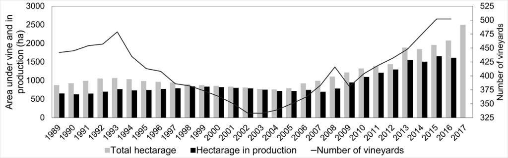
The number of new English & Welsh vineyards and their size continues to rise rapidly. By 2017 England & Wales had over 500 vineyards and an estimated 2,500 hectares under […]
Site evaluation
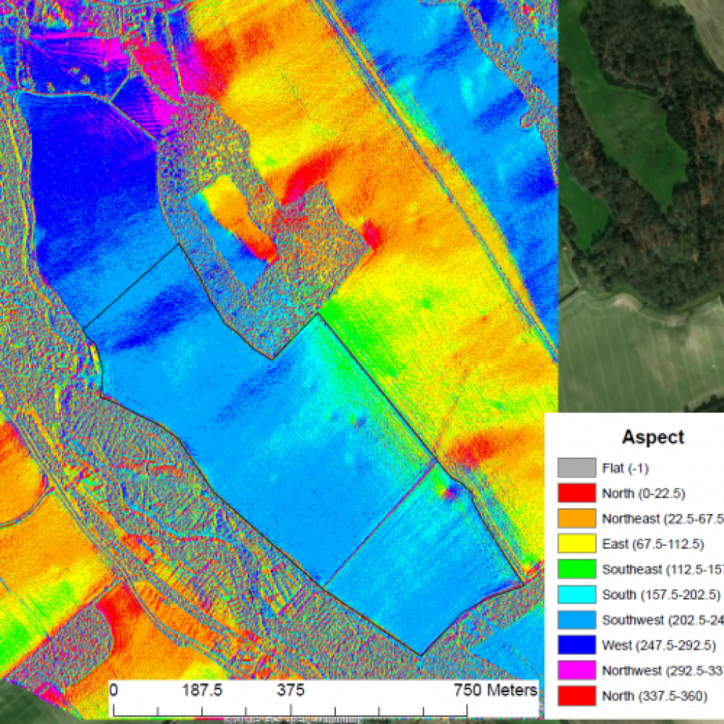
Vinescapes routinely use ultra high resolution (1 x 1 m) satellite or airborne derived terrain data to map and model potential vineyard sites. Using state-of-the-art geographic information software, topography, aspect, […]